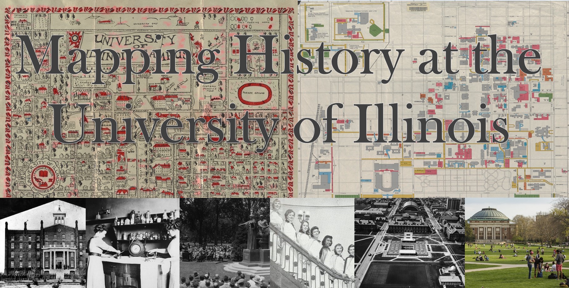
www.library.illinois.edu/mappinghistory
By Ellen Swain
In January 2016, James Whitacre (GIS Specialist), Marci Uihlein (Professor/Architecture), and Ellen Swain (Student Life and Culture Archivist) received Library Innovation Funds to develop a project entitled Mapping History at the University of Illinois—a “bringing together” of GIS, architecture and archives to tell the University’s story in time for the Sesquicentennial year.
The three project components include:
Campus History: Brief narratives (written by project historian John Franch) and covering themes across seven historic eras, integrating GIS story maps and architectural modeling, and archival holdings
Check out this Fly-through of University Hall (1871-1938) from Depression Era: https://www.library.illinois.edu/mappinghistory/campus-history/depression-war-cold-war/university-hall/
Interactive Campus Maps: GIS time-enabled map; 3-D modeling, and story maps produced (with James Whitacre’s assistance) by Joe Porto, Scholarly Commons graduate assistant, undergraduate student assistants and interns. Jessica Ballard, Archives Faculty Resident, created the African American Housing history map.
Check out this Story map of Illinois Field: https://univofillinois.maps.arcgis.com/apps/Cascade/index.html?appid=822c2a29508941219124e8343142fc19
Digital Map Archives: 525 campus, community and county maps from University Archives, Map Library and Champaign County Historical Archives holdings, conserved by Conservation and digitized by Digital Services.
Check out the archives here: https://www.library.illinois.edu/mappinghistory/campus-champaign-urbana-map-archives/
Through this project, we hope to inspire and showcase student scholarship about the University of Illinois. We are continually adding new content.

